Brooklyn 3D Visualization
Professional 3D visualization of Brooklyn using OpenStreetMap data. Explore building heights, subway lines, parks, and urban infrastructure in three dimensions.
Software engineer, photographer, and urban explorer based in Brooklyn, NYC. Building interactive visualizations and documenting the city through code and camera.
I create 3D urban planning tools, generative art, and photographic studies of architecture and public space. Currently exploring the intersection of GIS data, creative coding, and visual storytelling.
Professional 3D visualization of Brooklyn using OpenStreetMap data. Explore building heights, subway lines, parks, and urban infrastructure in three dimensions.
Collection of generative art experiments using P5.js and custom GLSL shaders. Exploring algorithmic aesthetics and procedural generation.
Scratch-off style interactive map tracking 13 locations across 8 states and 3 countries. Built with D3.js and TopoJSON for accurate geographic projections.
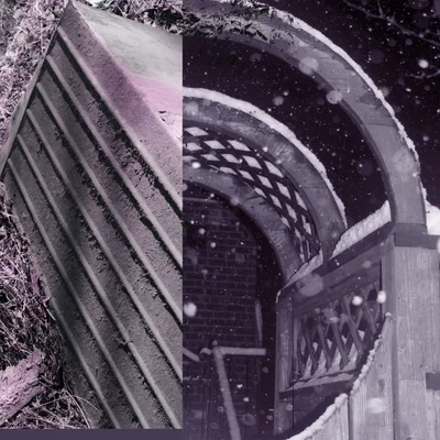
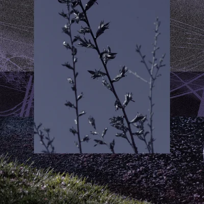
Documentary and experimental photography from NYC and beyond. 1,247 photos archived.